Cookie preferences


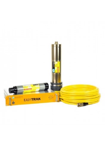
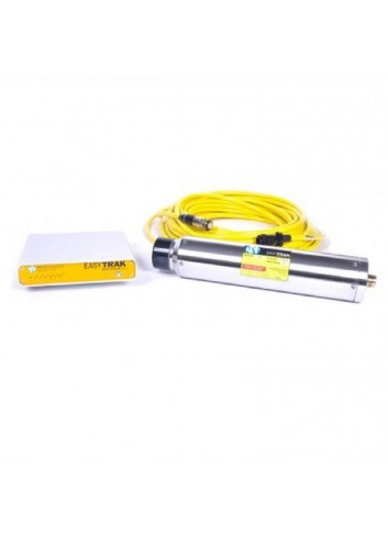
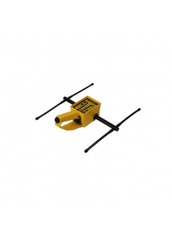
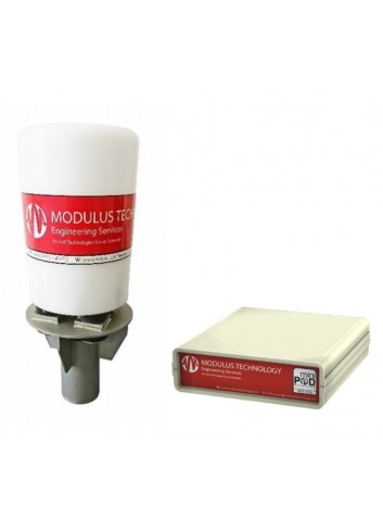
USBL EASYTRAK

Easytrak is a compact Ultra Short Baseline (USBL) system designed for the efficient tracking of underwater targets such as divers, ROVs, AUVs and tow fish.
Active filters
LATEST NEWS
Easytrak is a compact Ultra Short Baseline (USBL) system designed for the efficient tracking of underwater targets such as divers, ROVs, AUVs and tow fish.
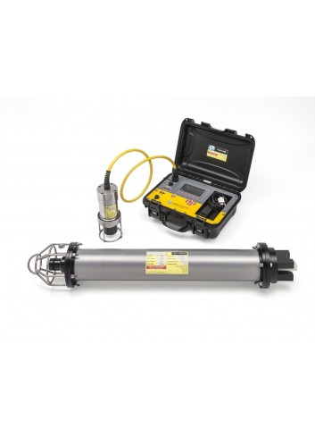
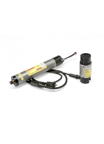
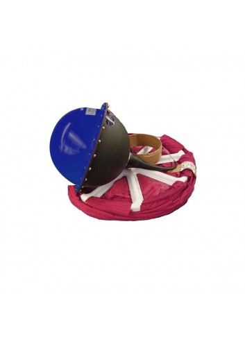
Acoustic release beacons are used to recover or lower equipment deployed under the sea, either in shallow or continental shelf waters.

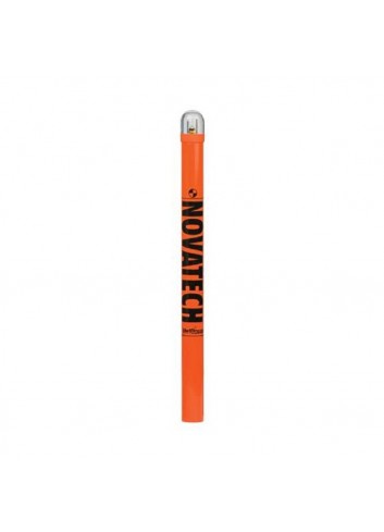
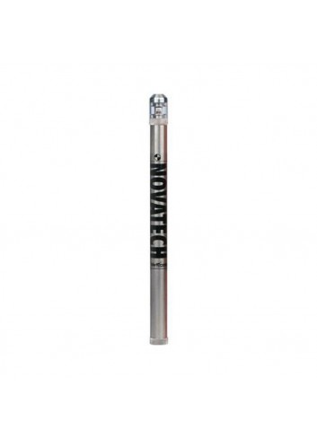
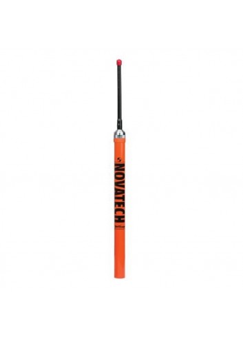
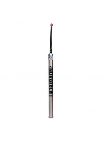
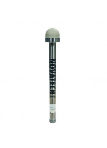
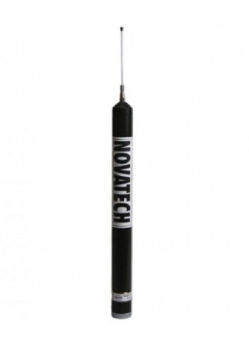
NOVATECH™ Beacons and Flashers are an integral component of ocean exploration and study. Flashers provide the added insurance of a visual aid with an intense flashing light to assist in recovery missions.
The NOVATECH™ Tracking & Monitoring products allow for recovery insurance in harsh submarine environments.
NOVATECH™ Satellite Beacons provide near real-time data and recovery coordinates, via Iridium® or Argos satellites, offering different options to suit individual deployment needs.
The NOVATECH™ DF-500N is a hand-held direction finder (DF) designed to operate in the most demanding field conditions on land or at sea.
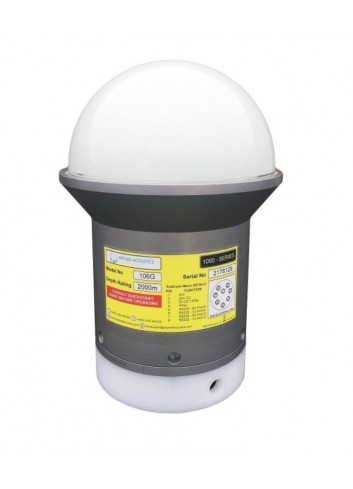
The 106G MiniPod is a ruggedised GNSS receiver that complements the operation of a nearby standard subsea positioning beacon.

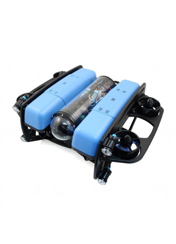
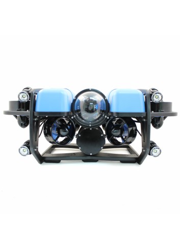
Ocean research, exploration and adventures are easily accessible with our flagship product, the BlueROV2.
applied acoustics’ MiniPod range delivers precise positioning using global navigation satellite systems (GNSS), whilst operating in the challenging environment of the splash zone.
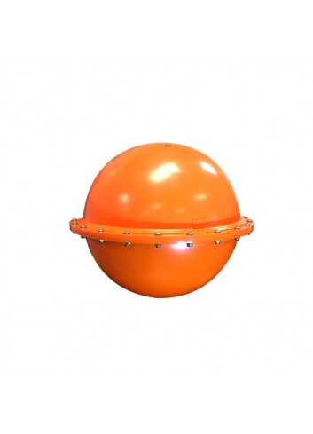
The iSPHERE is a uniqueThe iSPHERE is a unique buoy designed for oil spill tracking.
The CODE/DAVIS drifter is equipped with a sea surface temperature sensor, GPS receiver and the option of either Iridium® or ARGOS based satellite telemetry.
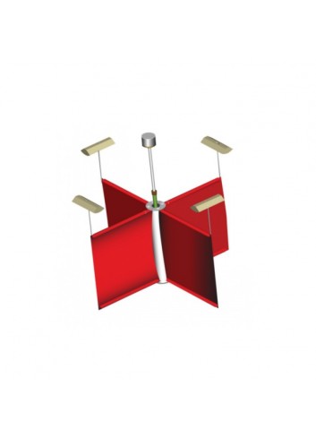
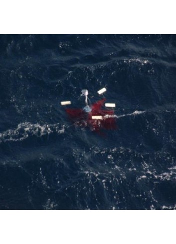
The Surface Velocity Program (SVP, iSVP) drifting buoy is a Lagrangian current-following drifter, designed to track water currents (15 metres depth) beneath the ocean surface.
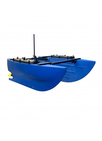
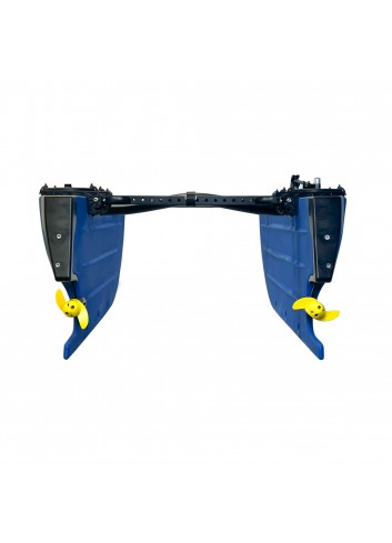
The BlueBoat is the most affordable robotic surface vessel on the planet. With an innovative hull design, endless expansion possibilities and open source BlueOS software, it is the ideal platform for hydrographic surveys and robotic system development.